What we fly for.
Three core disciplines, each backed by certified pilots, professional gear, and a workflow built for deliverables you can actually use.
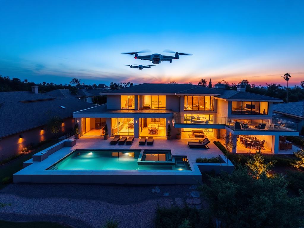
Aerial Photography
High-resolution stills for real estate listings, marketing campaigns, editorial features, and event coverage. We deliver edited RAW + JPEG sets ready to publish.
- Real estate & architecture
- Brand & marketing
- Events & weddings
- Editorial & press
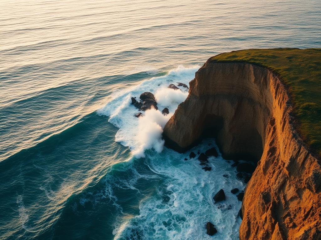
Cinematic Video
Story-driven aerial cinematography captured in up to 6K. From single beauty shots to full production days with ground/air coordination.
- 4K & 6K capture
- Color-graded delivery
- Stabilized cinematic moves
- Social & broadcast cuts
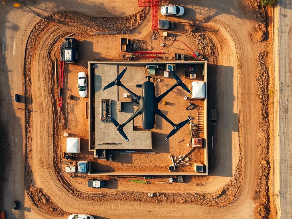
Mapping & Survey
GCP-verified orthomosaics, 3D point clouds, contour maps, and volumetrics for construction, agriculture, and land management.
- Orthomosaic maps
- 3D models & DSM/DTM
- Volumetric measurements
- Progress monitoring
Wherever the work is.
Construction & Real Estate
Land & Environment
Survey & Engineering
Marketing & Media